Wood frame has a 3cm face width. Printed on 350g matt texture paper and shipped ready to hang.
Artwork size: 16”x12”.
Glass cover.
Bright white mount has a border of 5.7cm.
Overall Dimensions: 22″x18″
- Tax included.
- Refunds & Returns.
£29.00
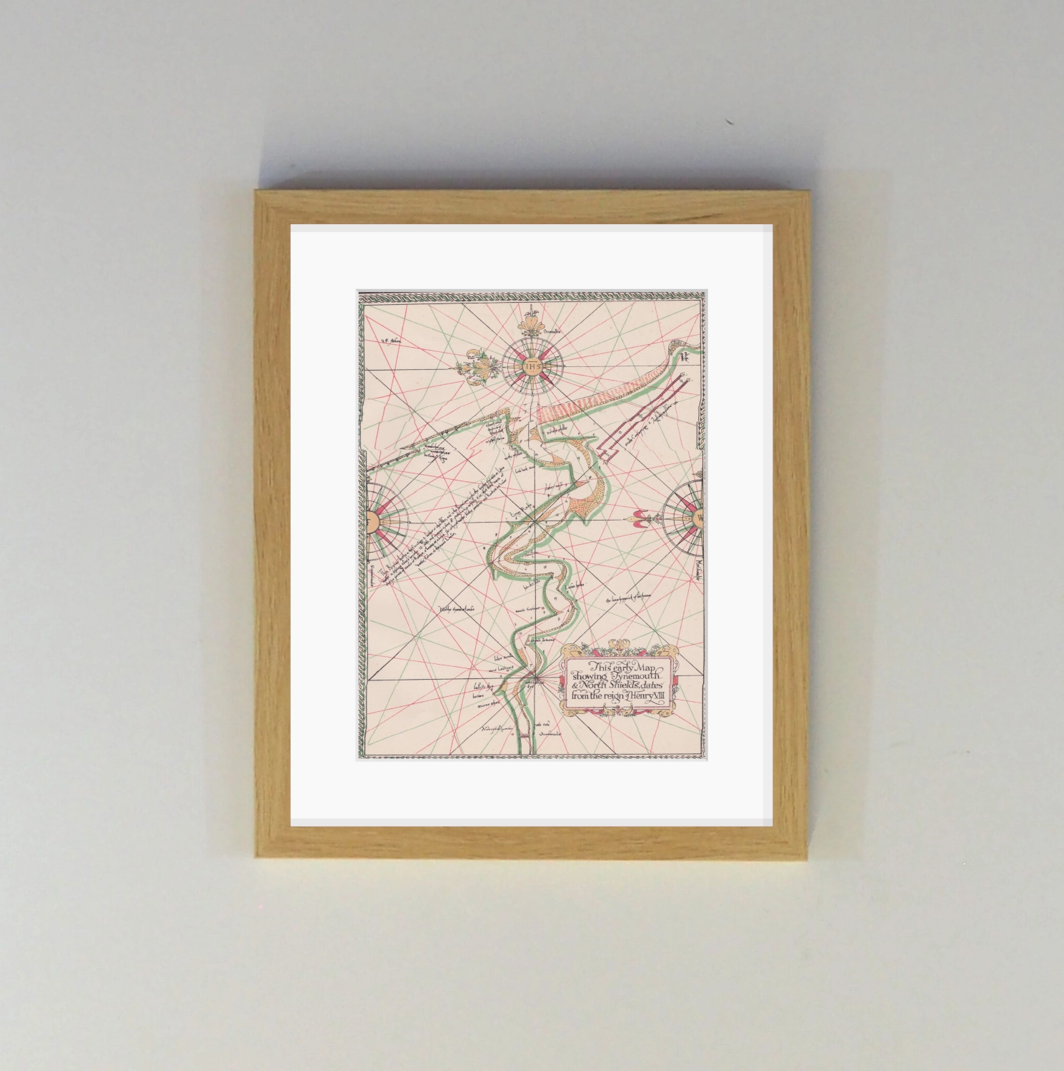
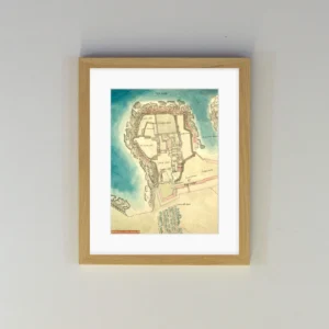
The River Tyne from Newcastle to Tynemouth.
This map is presumed to have been made by renowned navigator and chart maker, Richard Poulter, during the reign of Elizabeth I.
Poulter was a master mariner associated with the maritime navigation and safety body, Trinity House. Henry VIII had patronised and granted a royal charter to Trinity House in Newcastle, giving them jurisdiction over the reaches of the Tyne.
The production of this map should be seen in the context of the Newcastle coal trade. Demand for Newcastle coal among the elite in London was acute and no commodity was more prized and protected. Therefore the sea lanes in getting these black diamonds from the Tyne to the Thames required extensive mapping and safeguarding.
The map shows some points and hazards that are still familar to us today. These include, at the mouth:
Wood frame has a 3cm face width. Printed on 350g matt texture paper and shipped ready to hang.
Artwork size: 16”x12”.
Glass cover.
Bright white mount has a border of 5.7cm.
Overall Dimensions: 22″x18″
| Weight | 0.57 kg |
|---|---|
| Frame Colour | Black, Light Oak |
Reviews
There are no reviews yet.