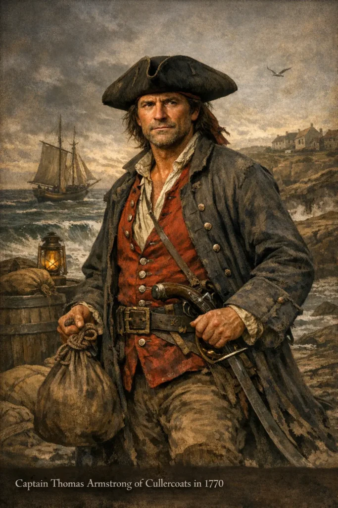
Jingling Geordie: The Criminal Career of Thomas Armstrong in the Golden Age of Smuggling
By Thomas Bainbridge
Battle of Newburn: The Scots Invade Northumberland and Occupy Newcastle
By Thomas Bainbridge
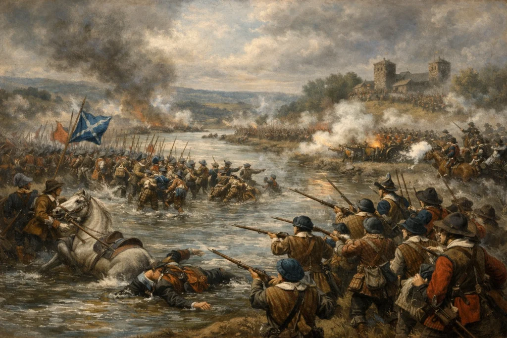
On the 17th of August, 1640, a massed force of 25,000 Scots crossed the Tweed, bypassed Berwick and marched directly for Newcastle. Their goal was to capture the vital shipping that controlled the export of coal on the River Tyne, which would provide them with significant bargaining power over the King.
Bassus of Elmet
By Crasterfarian
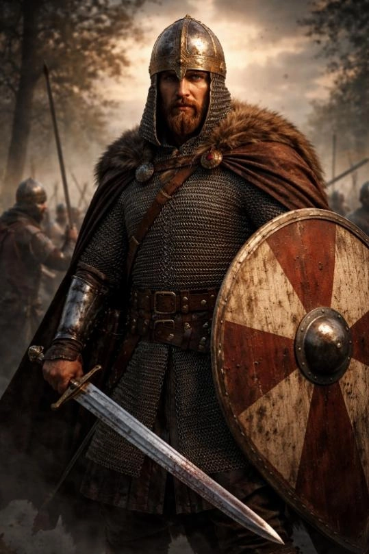
Bede records the name of a single individual, a man of warrior status. He must have been a canny scrapper and a gadgie of good heart for his name to reach down across the hundred years between the events at Elmet in 633 AD and Bede’s writing.
The Tortuous History of Saint Cuthbert’s Bones
By Thomas Bainbridge

Cuthbert is among the most cherished figures in Northumbrian history, so much so that the people of the region were once known as ‘Cuthbert’s people’ due to their extreme devotion to his legacy. The body of the Saint was equally regarded with extreme reverence. This history of the remains is a remarkable and peculiar one.
Tughall and Saint Cuthbert
By Crasterfarian
These tiny remains are all that are left of the chapel in the deserted medieval village of Tughall, near Seahouses. However, this is not the remains of any ordinary chapel. The reason it was built is because this was the spot where the body of St Cuthbert spent the night on the 13th of December 1069.
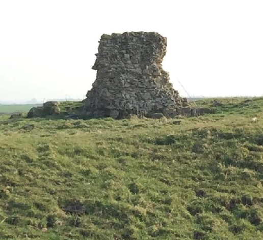
Gannin the Widdy Way
By Crasterfarian
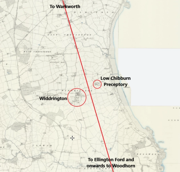
Widdrington is an Old English place-name, possibly derived from a personal name, as many places were. It might have started out as Wīddra, combined with tūn, meaning an enclosure or settlement. In simple terms, it may have meant “Wīddra’s settlement”.
It is tempting, therefore, to place Wīddra within the world of early Northumbrian lordship, a local thegn or landholder whose authority rested on control of land, people, and routes. Such men did not exist in isolation. They were bound by oath and obligation to a king, and in the early seventh century that King was Oswald.
The Siege of Tynemouth
By Thomas Bainbridge
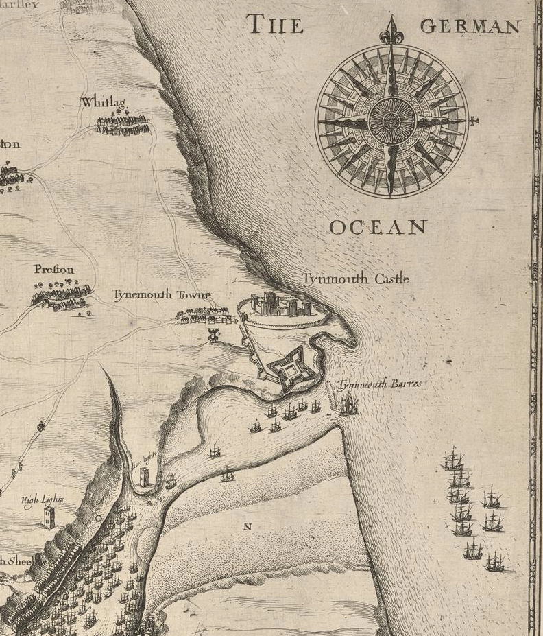
“Colonel Lilburne was found amongst the dead. His lifeless body was decapitated and his head hoisted above the Castle walls as a warning to Royalist sympathisers.”

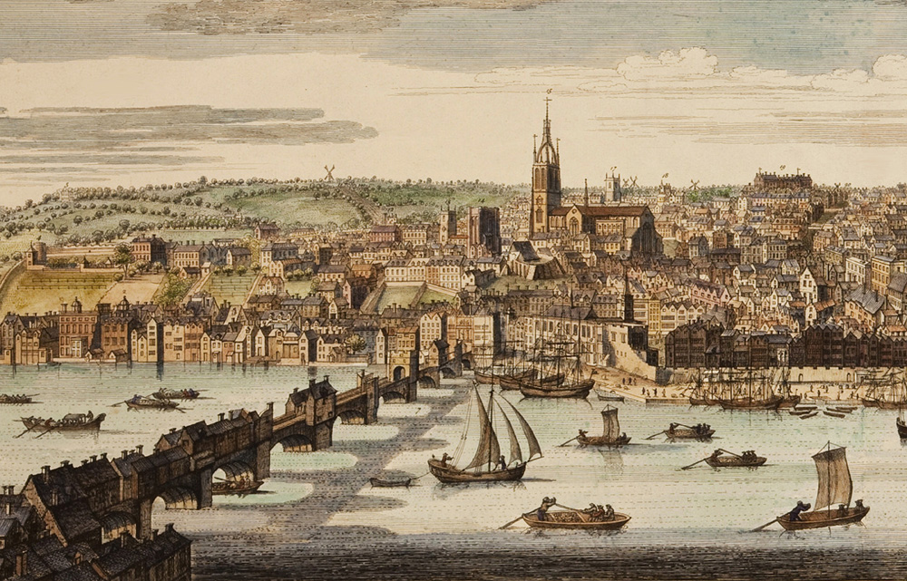
Charles I’s Time in Newcastle Under House Arrest
By Thomas Bainbridge

Being a Scot, Charles played a daily game of “goff” in Shieldfield (when it was a field). He would also partake in games of bowls, and on inclement days, chess. Charles also drank in the Old George Inn, which still has his chair.
The Madness of the Newcastle Witch Trails
The Town Under Puritan Tyranny in the 1650s
By Thomas Bainbridge
The memory of these events, however distant, casts a gruesome legacy over the town today.
Holy Cross Church, Wallsend: Echoes of Rome and Anglo-Saxon Faith
By Crasterfarian
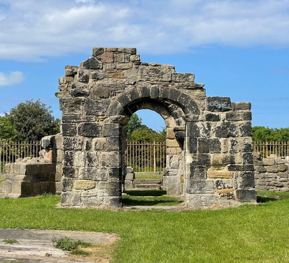
Northumbria never truly let go of its Roman inheritance, it simply reshaped it with a Christian heart.

